Charlie Lake & Watershed
About Charlie Lake
Charlie Lake is a very productive body of water, supporting a rich and diverse range of flora and fauna.
On average, algae and plants begin to increase in density around mid-June, peak in late July to mid-August and slowly decline during fall.
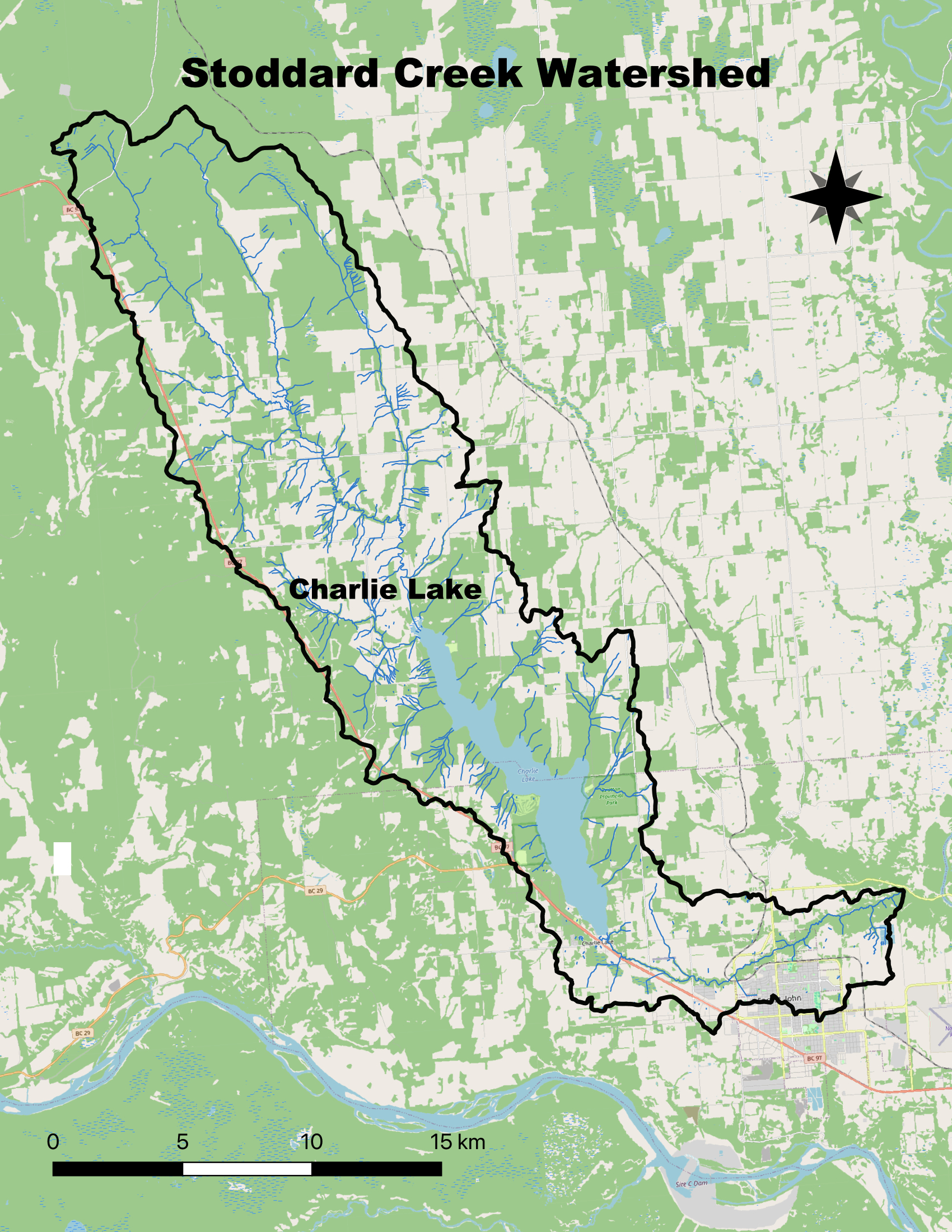
The Charlie Lake watershed is part of Dane-zaa nunne, traditional lands of Blueberry River First Nations, Doig River First Nation, and Halfway River First Nation. We are grateful to play a small part in the continued stewardship of this place.
Charlie Lake by the Numbers
Lake area:
Lake length:
Shoreline length:
Lake evaporation rates:
millimetres per day
Equivalent to:
million litres per day
Lake maximum depth:
Lake mean depth:
Lake elevation:
Watershed elevation range:
Lake volume at weir level:
Lake volume reduction 1m below weir:
Lake volume reduction 2m below weir:
Lake volume reduction 3m below weir:
Lake turnover rate:
of the lake's volume is within the zone where sunlight is available for plant growth.
Watershed area:
Total streams and drainages:
of the land within the watershed is privately owned
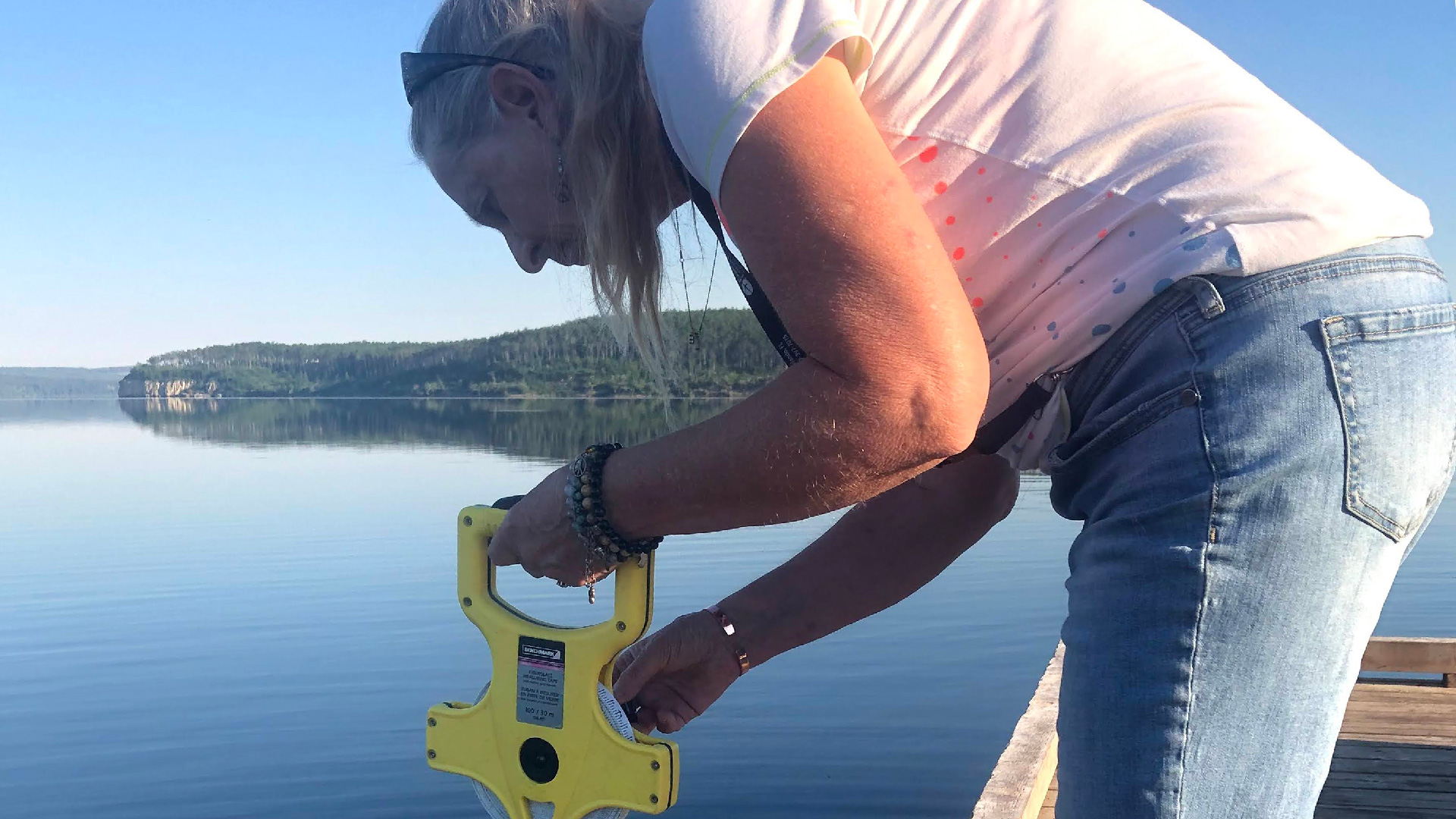
Charlie Lake Challenges
The most common concerns we hear from residents and visitors to the watershed centre on aquatic vegetation and algal blooms. Click here to read about each of these challenges and what is being done to address them.